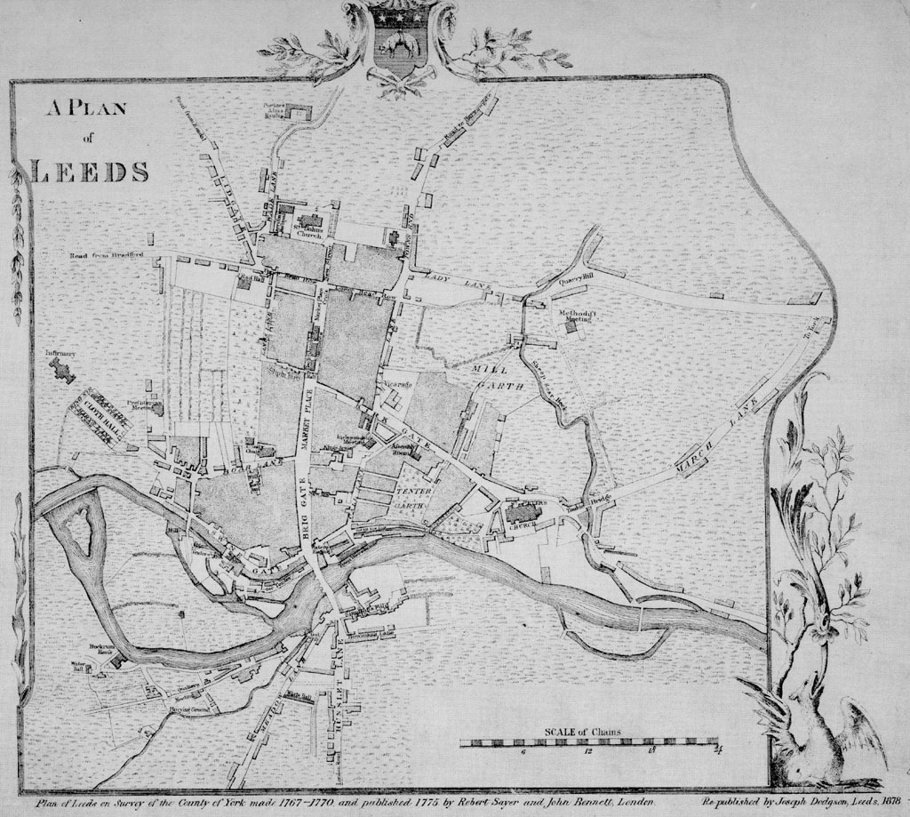
Leeds, England/leeds402
Previous | Home | NextThis is a map dated 1770 of Leeds, known as the "Jeffreys map." On the lower right is the scale in "chains" (a "chain" = 66 feet). Two key areas interest us, the area of the Old Brewery on Meadow Lane where Priestley first studied the gases evolving from fermentating wort, and the area about Mill Hill Chapel which included his later home (see next photo for identifications. ). By kind permission of Leeds Library and Information Services, www.leodis.net.
